

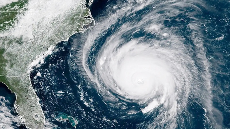

There is a growing concern that a cyclone may form over the Bay of Bengal within the next 48 hours. A weak low-pressure system over the southeast Bay has intensified into a “well-marked low-pressure area.” Preliminary analysis suggests that it may strengthen further into a low-pressure system by tomorrow.
According to Indian media outlet OdishaTV on Sunday (23 November), weather forecasts indicate that the low-pressure system may move northwestward and turn into a cyclone within the next 48 hours.
At present, it is moving toward the southeast Bay of Bengal and the adjoining south Andaman Sea. However, the possible path and landfall location of the system—should it develop into a cyclone—remain uncertain.
Meteorologists believe the weak low-pressure system may consolidate near the South Andaman Sea by 25 November.
Weather expert Sandeep Pattnaik said that favorable conditions in the Malacca Strait and the southeast Bay of Bengal, along with the low-pressure system passing through the Madden–Julian Oscillation phase, may help it intensify further.
He explained, “Due to the vast stretch of warm ocean surface and strong wind flows from the Pacific Ocean, conditions are favorable for the low-pressure area to strengthen. Since the influence of cold air has diminished, the chances of further intensification are high.”
The system is likely to intensify further due to strong Pacific winds, widespread warm seawater, and a lack of cold air intrusion.
This weather system may persist from 21 November until 2 or 3 December. However, the highest likelihood of intensification lies between 26 and 30 November. During this period, the currently weak low-pressure system may strengthen over the southwest Bay of Bengal, near the coasts of Andhra Pradesh and Odisha.
Under its influence, wind speeds over the southeast Bay may reach 50–60 km/h from the evening of 25 November. On 26 November, wind speeds could rise to 60–70 km/h, potentially exceeding 80 km/h. By 27 November, wind speeds might reach up to 100 km/h.
—Odisha TV